We are excited to announce a new addition to our tree surveying services from 2020 - UAV (drone) surveying. Our consultants are now equipped with this cutting-edge technology to provide a range of services for our clients.
One of the many benefits of UAV surveying is its ability to perform roof assessments for structural, ecological (including bats), or insurance purposes. Additionally, our 2D and 3D mapping services can incorporate high relative and absolute accuracy by working with your appointed topographers.
For those hard-to-reach areas, we offer upper crown assessments of very large trees or preliminary assessments of sites with otherwise inaccessible areas such as steep road cuttings, large woodlands or open quarries.
All UAV operations are conducted by fully insured CAA approved pilots to ensure maximum safety and compliance with regulations.
At our tree surveying company, we are always looking for ways to add value to our existing services, and our UAV surveying is no exception. We are happy to customise our services to fit your specific needs, and we encourage you to get in touch with us via our contact page to learn more about how we can help with your project.
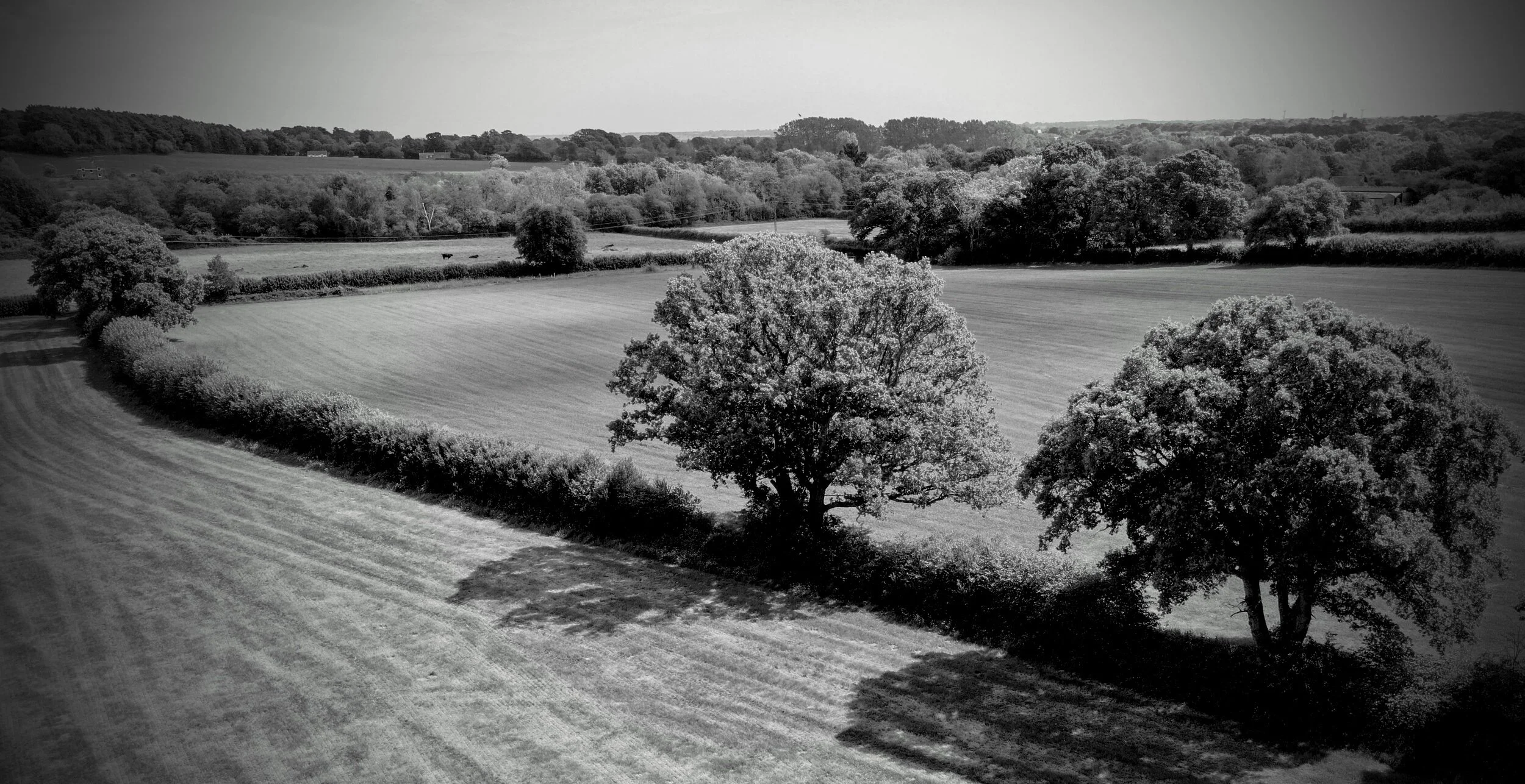
Drone survey services to include photography and detailed mapping and site assessment.
“Drone use has the potential to greatly improve both ecological and structural assesment of roofs particularly in constrained or challenging sites.”